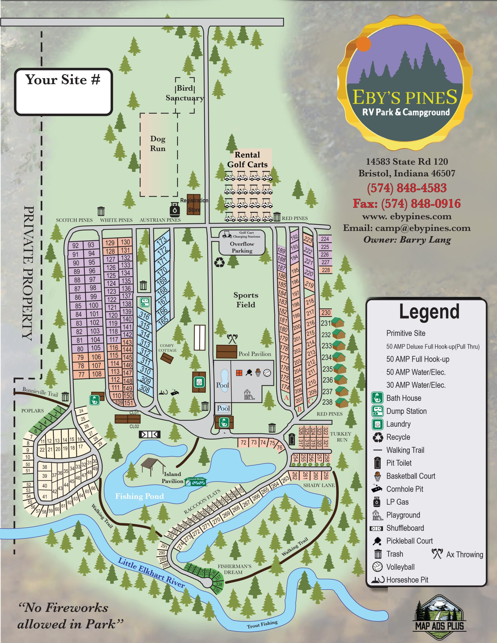
If you’re familiar with Google Street View just click the link above. If you’re not familiar with it, follow the instructions below. The steps are also illustrated with screenshots.
Click the link above and it will take you to the Eby’s Pines RV Park & Campground listing in Google Maps. (It will open in a new window.)
Click the little yellow pegman in the bottom right corner to launch Street View and see the blue lines indicating where there are images of the campground (see Step 2 illustration below).
Click on the blue lines that appear to see a 360 degree image of that exact spot in the park. For larger images click the < to collapse the side info panel (optional). (See Step 3 illustration below.)
Change your view by (see Step 4 illustration below):
Clicking and dragging your mouse to rotate your view.
Use the controls in the bottom right corner to zoom in/out and rotate your view.
Move your cursor around to see clickable arrows that let you move left or right.